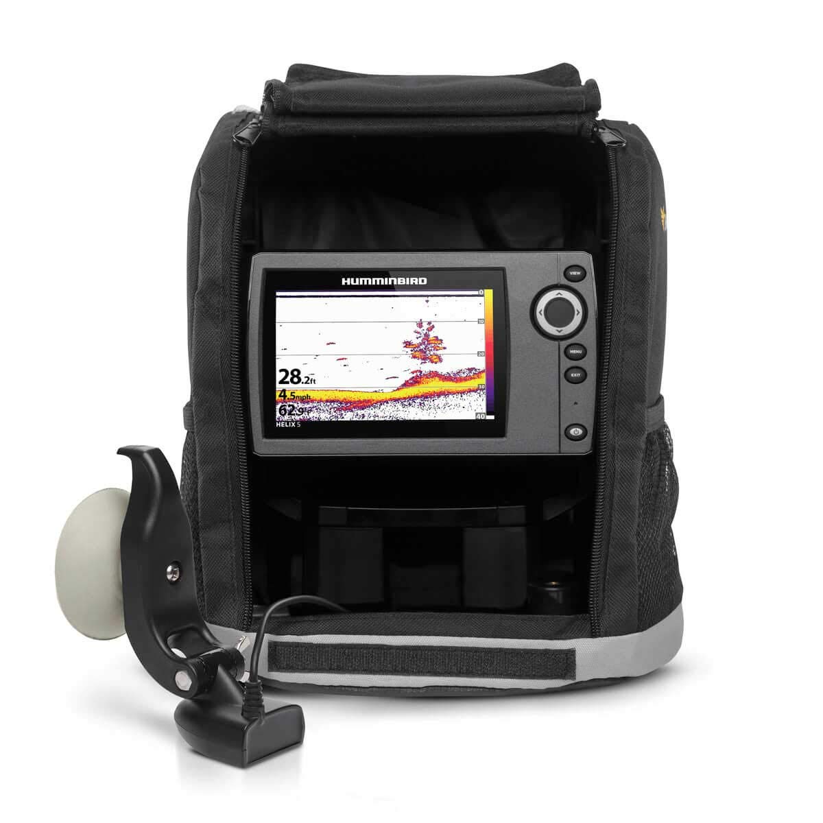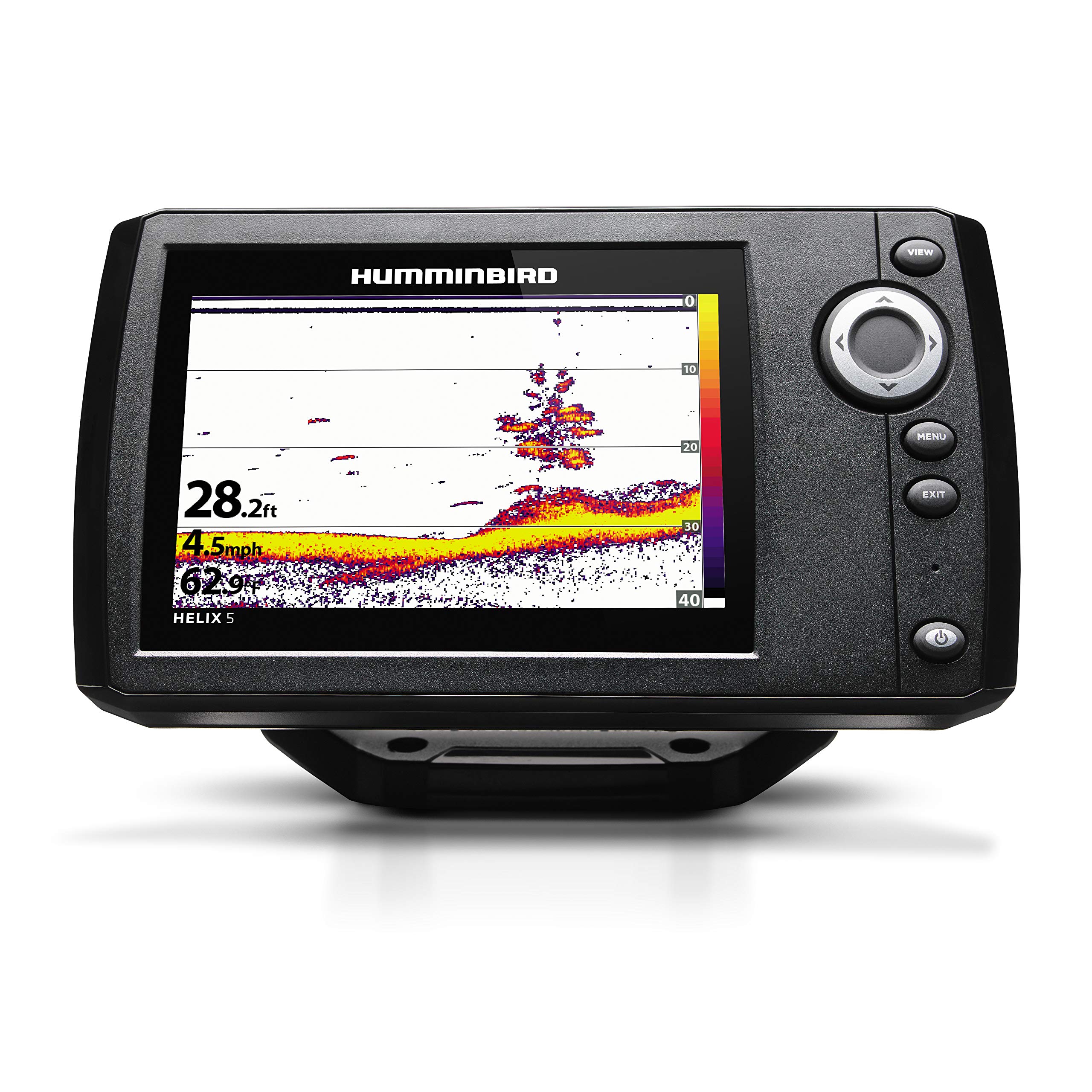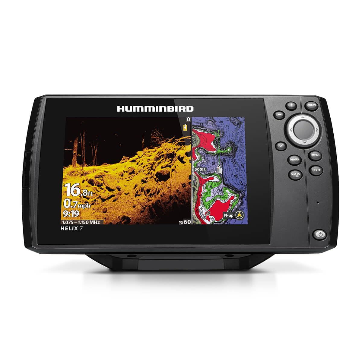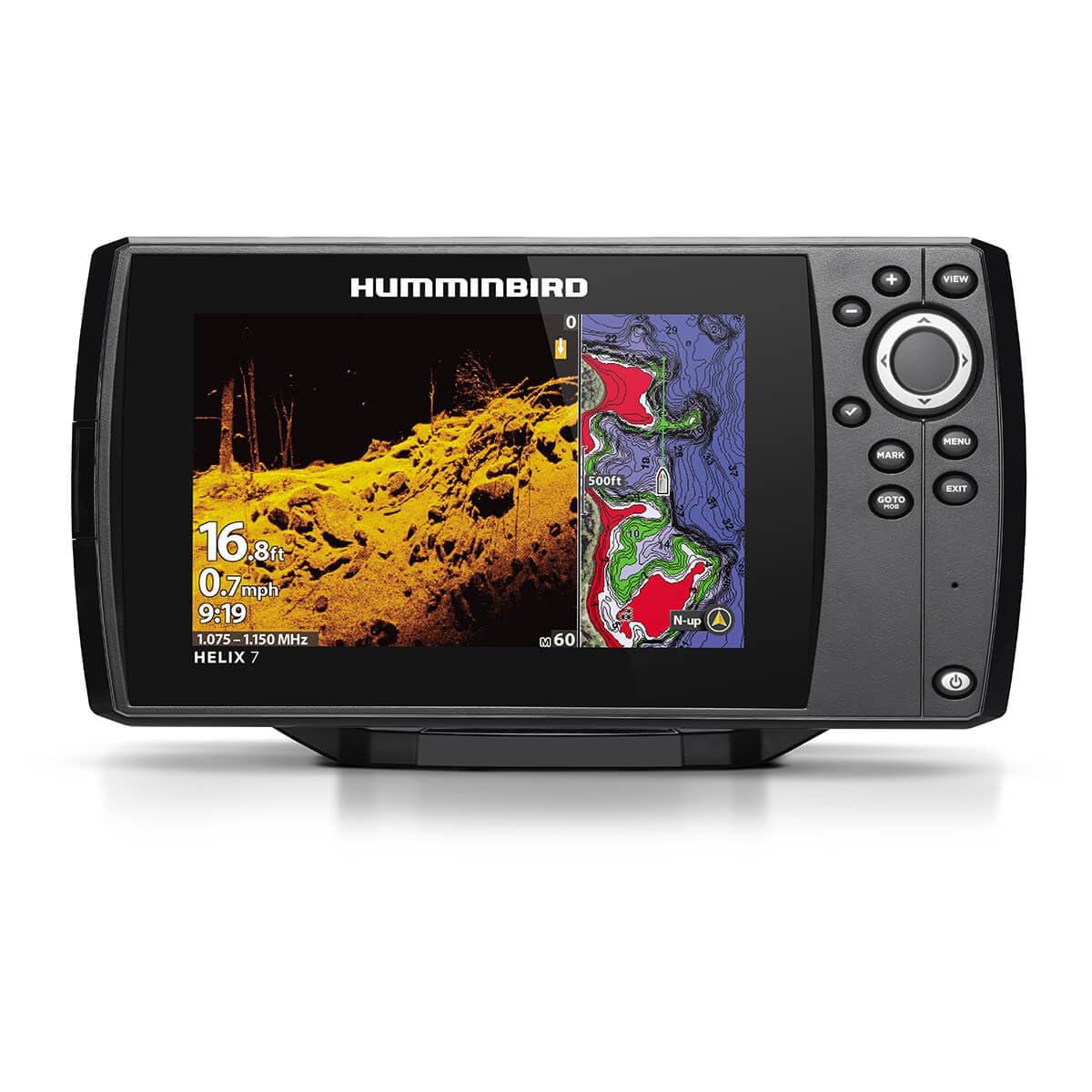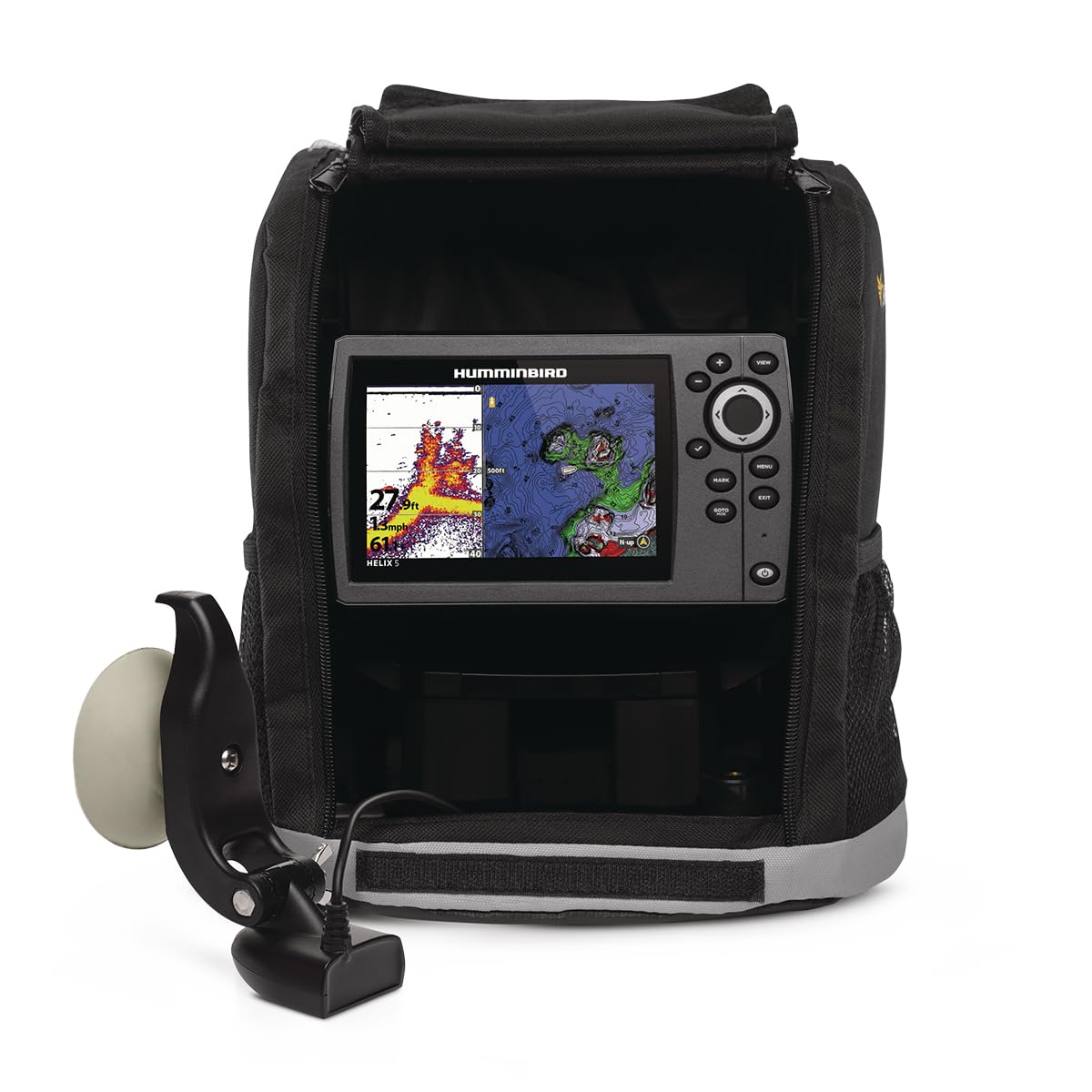
Humminbird Helix 7 G4N GPS Fish Finder with Transducer & MEGA Side Imaging
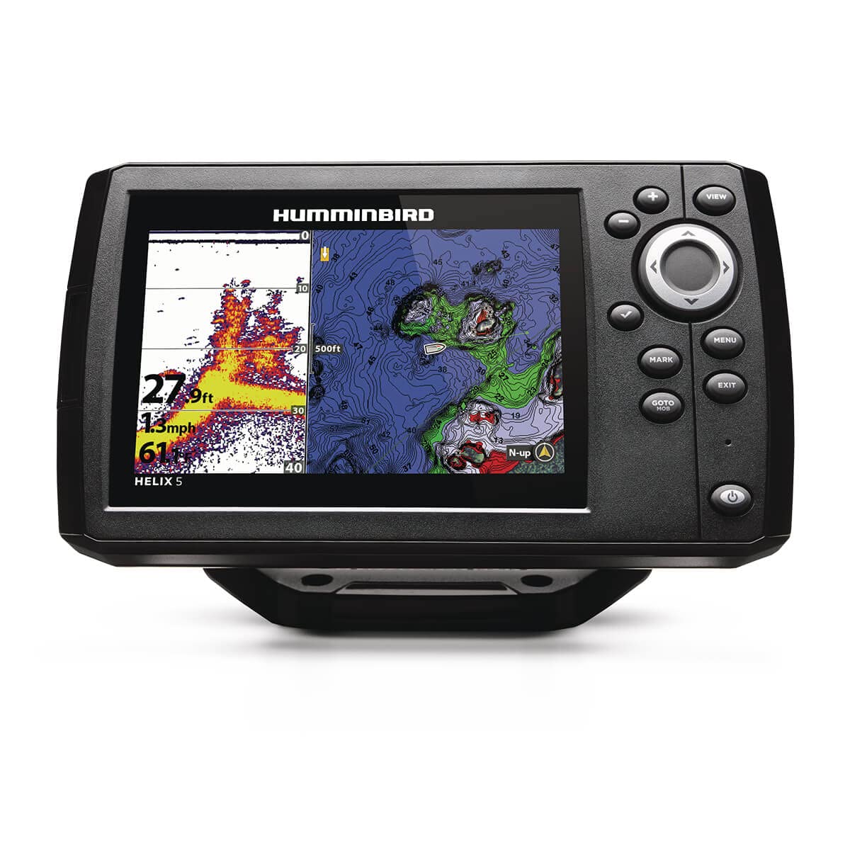
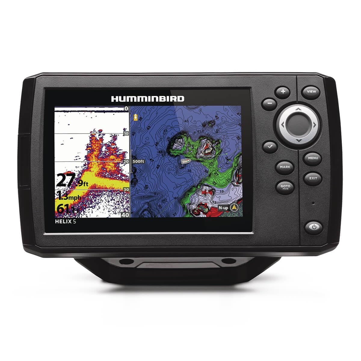
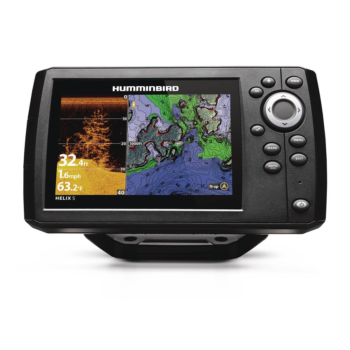
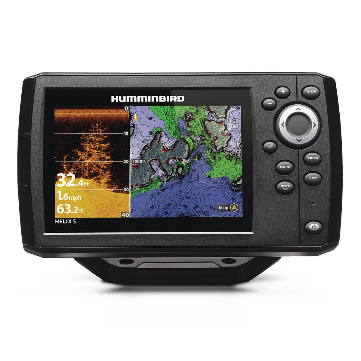
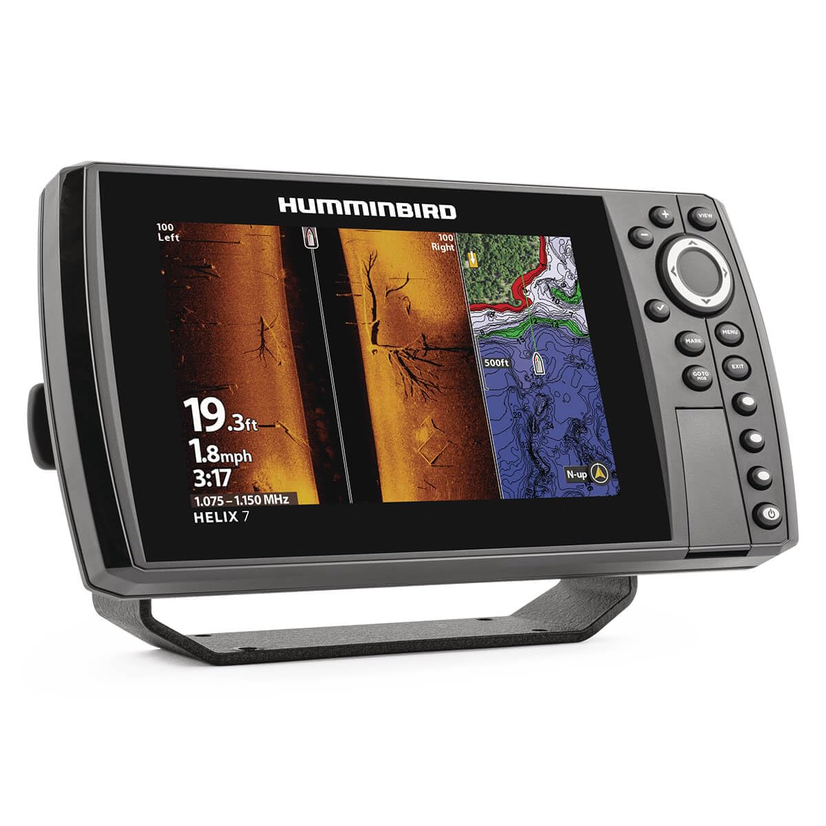
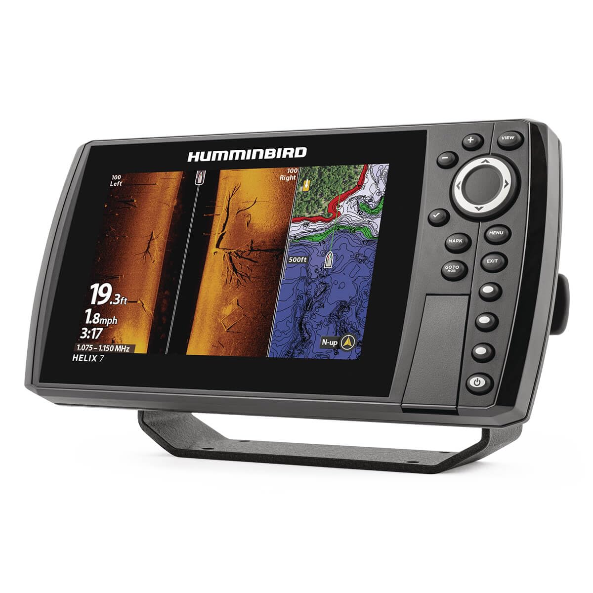
- MEGA Side & Down Imaging Technology: View fish, structures, and contours 125 feet on either side of your boat and 125 feet directly beneath your watercraft with 3x more detail than standard imaging sonar; Transducer included
- Dual Spectrum CHIRP Sonar: Delivers views of fish arches and fish-holding structure with two ways to search — Wide Mode for maximum coverage and Narrow Mode for detailed scanning; Precise 2D target separation powered by Low-Q transducer
- Enhanced GPS Navigation: Equipped with Humminbird Basemap, this chartplotter includes coverage of 10,000+ lakes and continental U.S. coastlines; Compatible with premium LakeMaster, CoastMaster, and Navionics charts
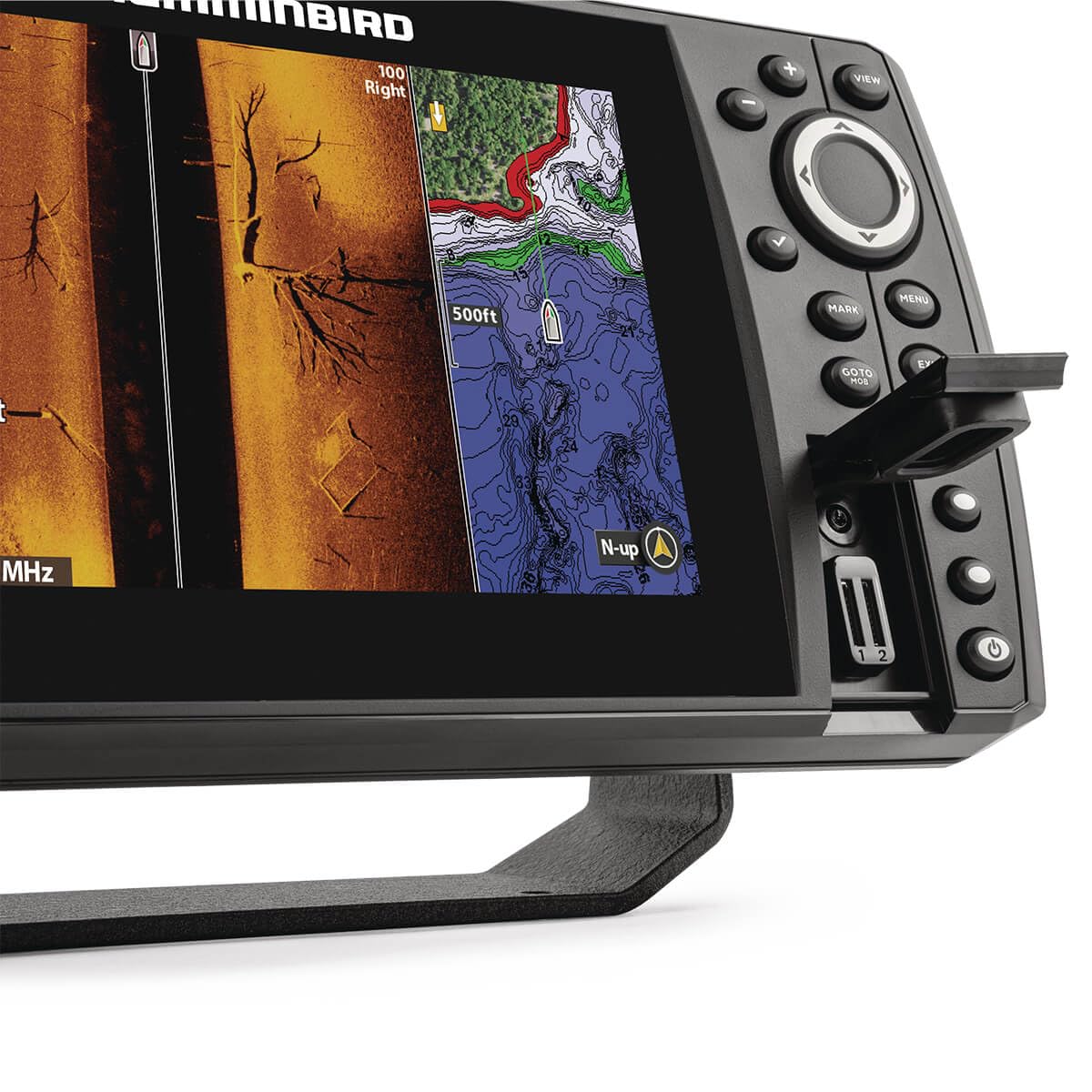
- Real-Time Mapping: AutoChart Live creates maps of depth contours, bottom hardness, and vegetation while boating with eight hours of built-in recording time; Compatible with AutoChart Zero Line SD cards for expanded mapping capacity
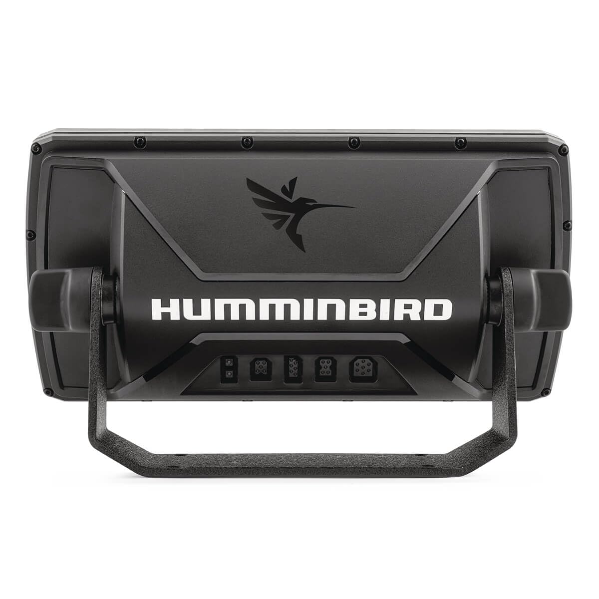
- Connectivity & Compatibility: Equipped with ethernet ports, Bluetooth, and built-in NMEA 2000 networking; Seamless integration with Minn Kota and Cannon products
$999.99
Humminbird Helix 7 G4N GPS Fish Finder with Transducer & MEGA Side Imaging—
$999.99
More Images

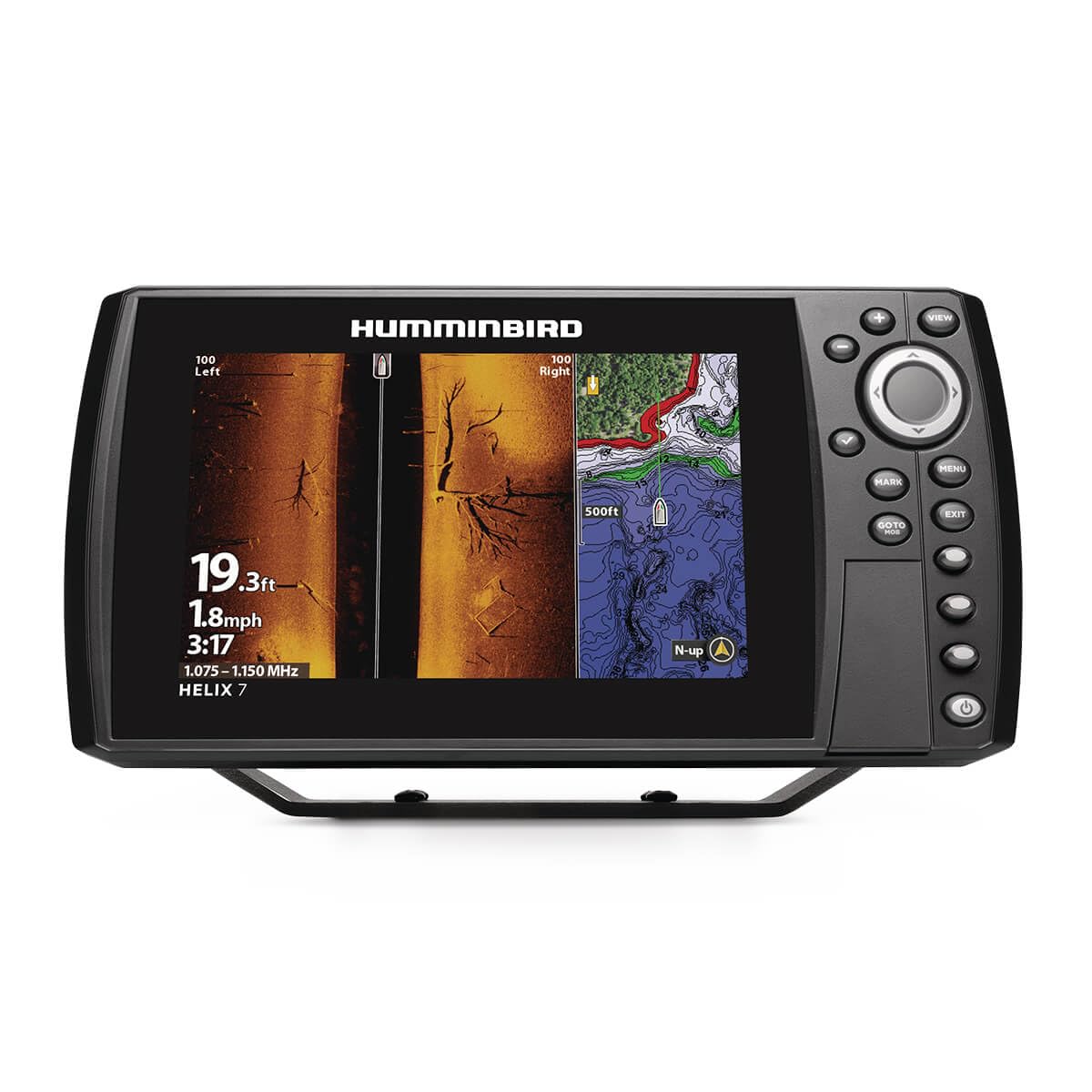
Humminbird Helix 7 G4N GPS Fish Finder with Transducer & MEGA Side Imaging
- MEGA Side & Down Imaging Technology: View fish, structures, and contours 125 feet on either side of your boat and 125 feet directly beneath your watercraft with 3x more detail than standard imaging sonar; Transducer included
- Dual Spectrum CHIRP Sonar: Delivers views of fish arches and fish-holding structure with two ways to search — Wide Mode for maximum coverage and Narrow Mode for detailed scanning; Precise 2D target separation powered by Low-Q transducer
- Enhanced GPS Navigation: Equipped with Humminbird Basemap, this chartplotter includes coverage of 10,000+ lakes and continental U.S. coastlines; Compatible with premium LakeMaster, CoastMaster, and Navionics charts
- Real-Time Mapping: AutoChart Live creates maps of depth contours, bottom hardness, and vegetation while boating with eight hours of built-in recording time; Compatible with AutoChart Zero Line SD cards for expanded mapping capacity
- Connectivity & Compatibility: Equipped with ethernet ports, Bluetooth, and built-in NMEA 2000 networking; Seamless integration with Minn Kota and Cannon products
Product Information
Product Information
Shipping & Returns
Shipping & Returns
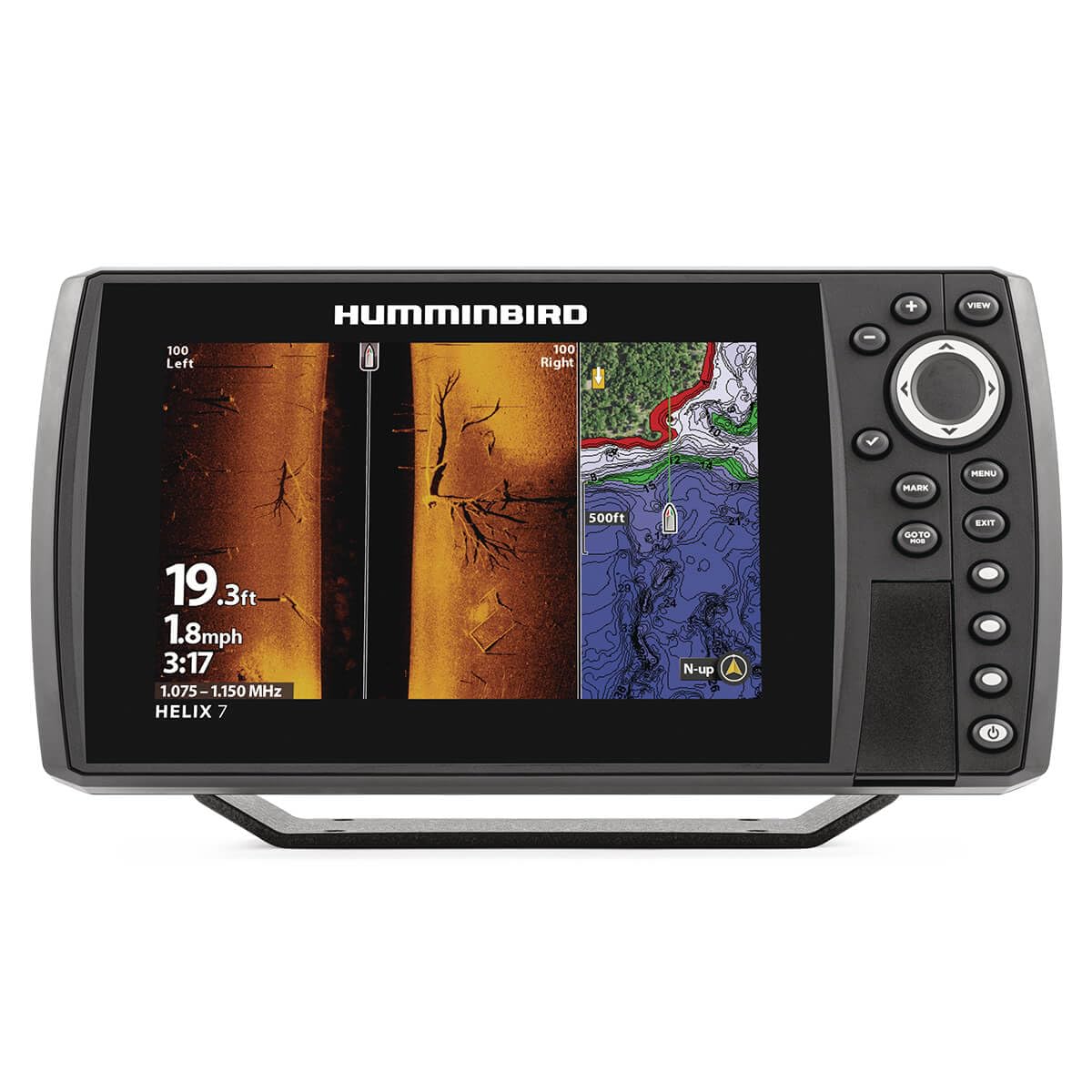
Description
- MEGA Side & Down Imaging Technology: View fish, structures, and contours 125 feet on either side of your boat and 125 feet directly beneath your watercraft with 3x more detail than standard imaging sonar; Transducer included
- Dual Spectrum CHIRP Sonar: Delivers views of fish arches and fish-holding structure with two ways to search — Wide Mode for maximum coverage and Narrow Mode for detailed scanning; Precise 2D target separation powered by Low-Q transducer
- Enhanced GPS Navigation: Equipped with Humminbird Basemap, this chartplotter includes coverage of 10,000+ lakes and continental U.S. coastlines; Compatible with premium LakeMaster, CoastMaster, and Navionics charts
- Real-Time Mapping: AutoChart Live creates maps of depth contours, bottom hardness, and vegetation while boating with eight hours of built-in recording time; Compatible with AutoChart Zero Line SD cards for expanded mapping capacity
- Connectivity & Compatibility: Equipped with ethernet ports, Bluetooth, and built-in NMEA 2000 networking; Seamless integration with Minn Kota and Cannon products